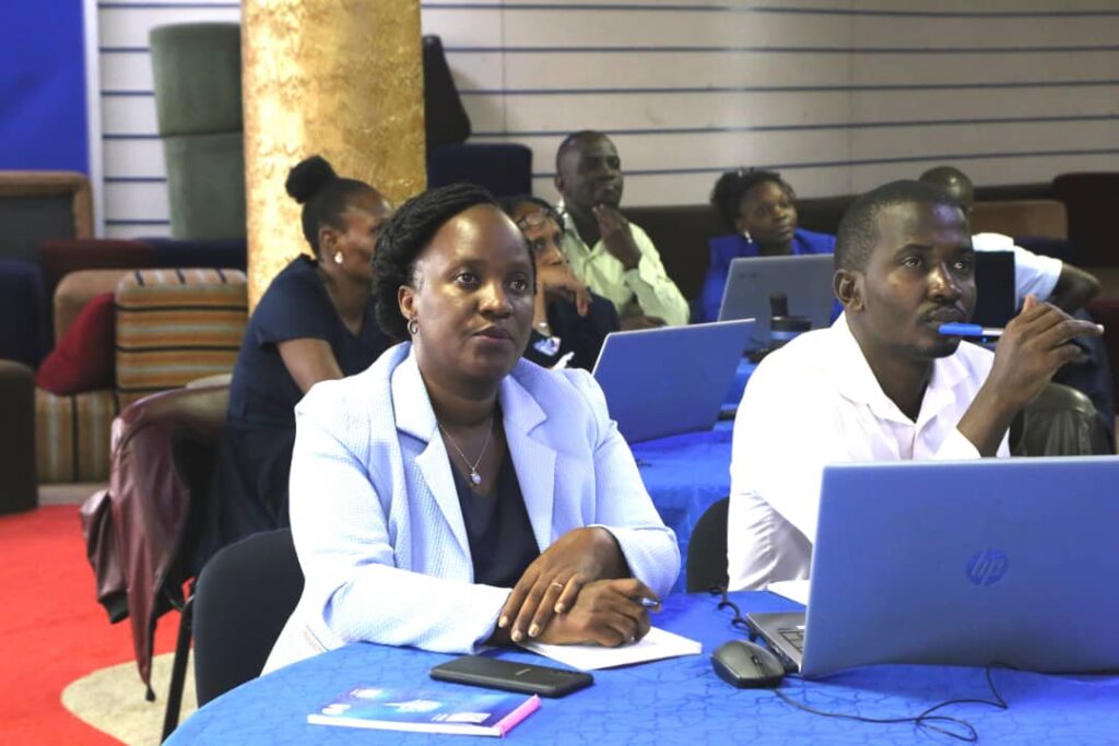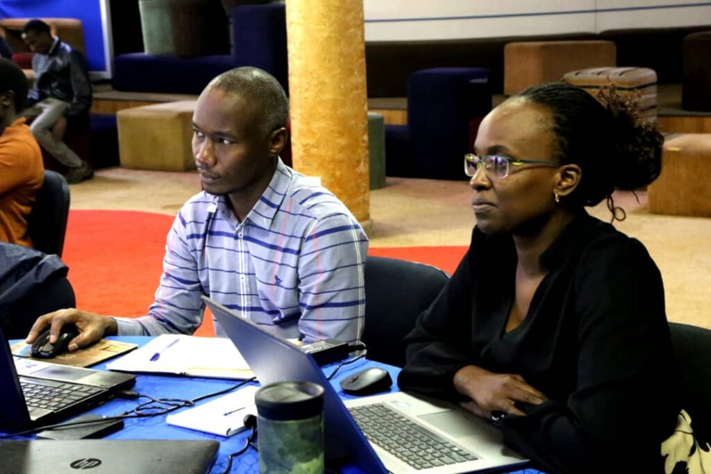
With the aim of advancing their capabilities, a group of Engineers and Surveyors underwent intensive training on the latest Geographic Information Systems (GIS) tools, with a special focus on transitioning from the soon-to-be-phased-out GIS ArcMap to the cutting-edge ArcGIS Pro software.
Conducted under the guidance of Eng. Alex Gisagara, the Senior Director of Engineering, the training session was orchestrated by Ms. Evas Tumuheirwe, Senior Manager of the GIS and Surveys Department, along with Mr. David Opoka from the training department. The event provided attendees with invaluable skills to navigate the intricate features of the ArcGIS Pro software, equipping them for the ever-evolving demands of their respective fields.
The opening remarks by Ms. Tumuheirwe emphasized the urgency to address challenges, particularly the backlog in block mapping exercises, amidst the constraints of available resources. Acknowledging the growth in new connections, she underscored the need for efficient mechanisms to update accounts in real-time, highlighting the collaborative efforts between GIS and various areas to streamline processes without duplicating activities.


